Wildflowers of Europe
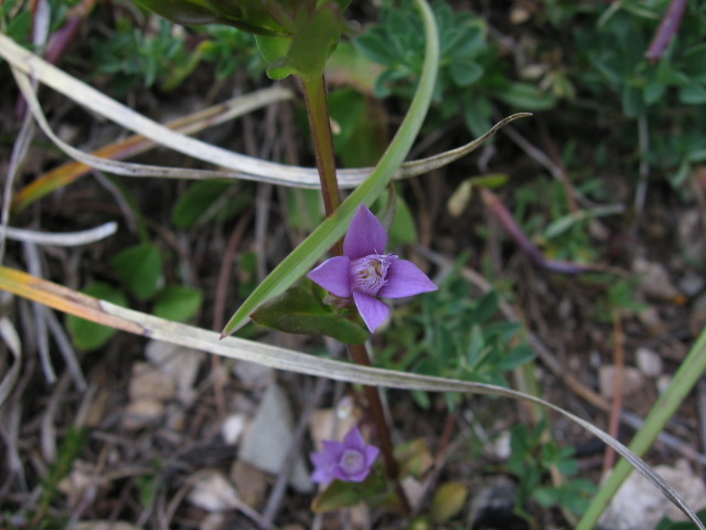
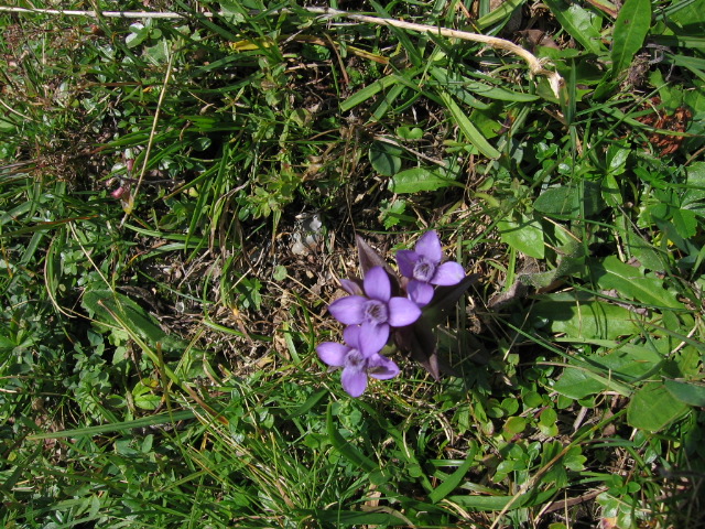
Gentianella campestris
| Family : | GENTIANACEAE (Gentian Family) |
| Common Name (UK) : | Field Gentian |
| Common Name (DE) : | Feld-Enzian |
| Common Name (FR) : | Gentiane champêtre |
| Habitat : | Grassy areas and pastures; prefers calcareous soil |
| Remarks : | Similar to Chiltern Gentian except flowers have 4 petals instead of 5. |
| First appearing : | August |
| Abundance : | Abundant |
|
 |
|
 |
|
|
|
 |
|
|
|
|
|
|